Mountain biking
BackMTB area of Orcières
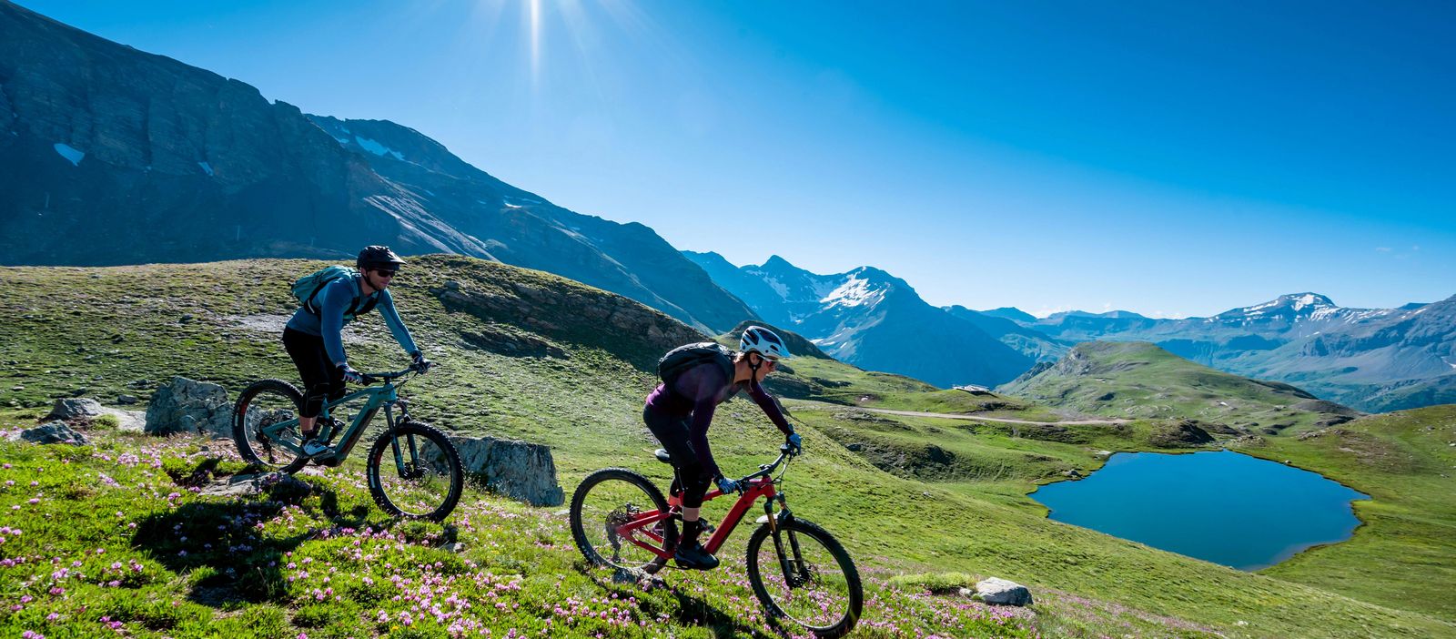
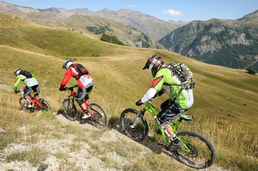
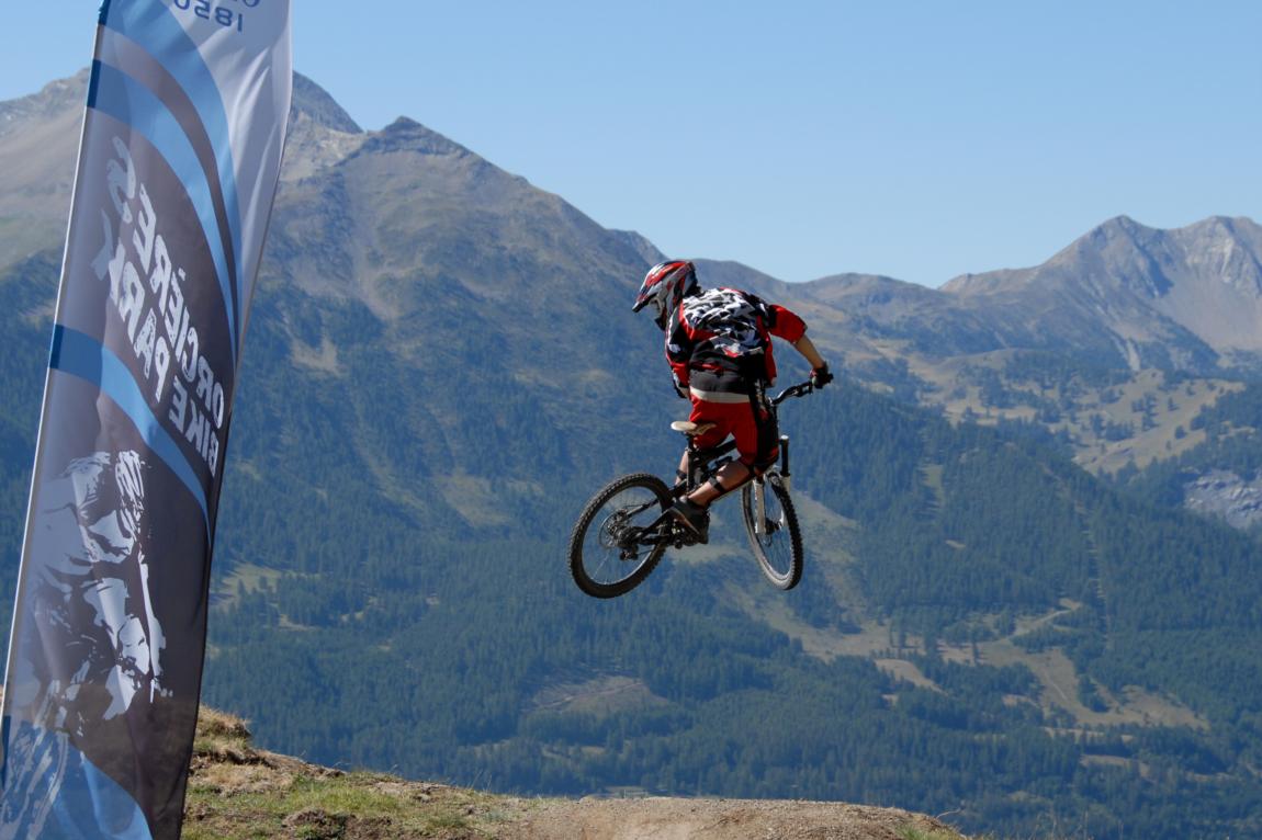
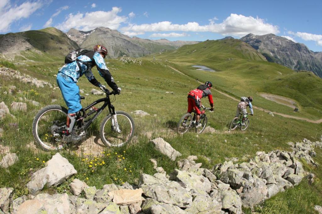
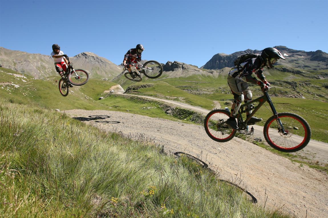
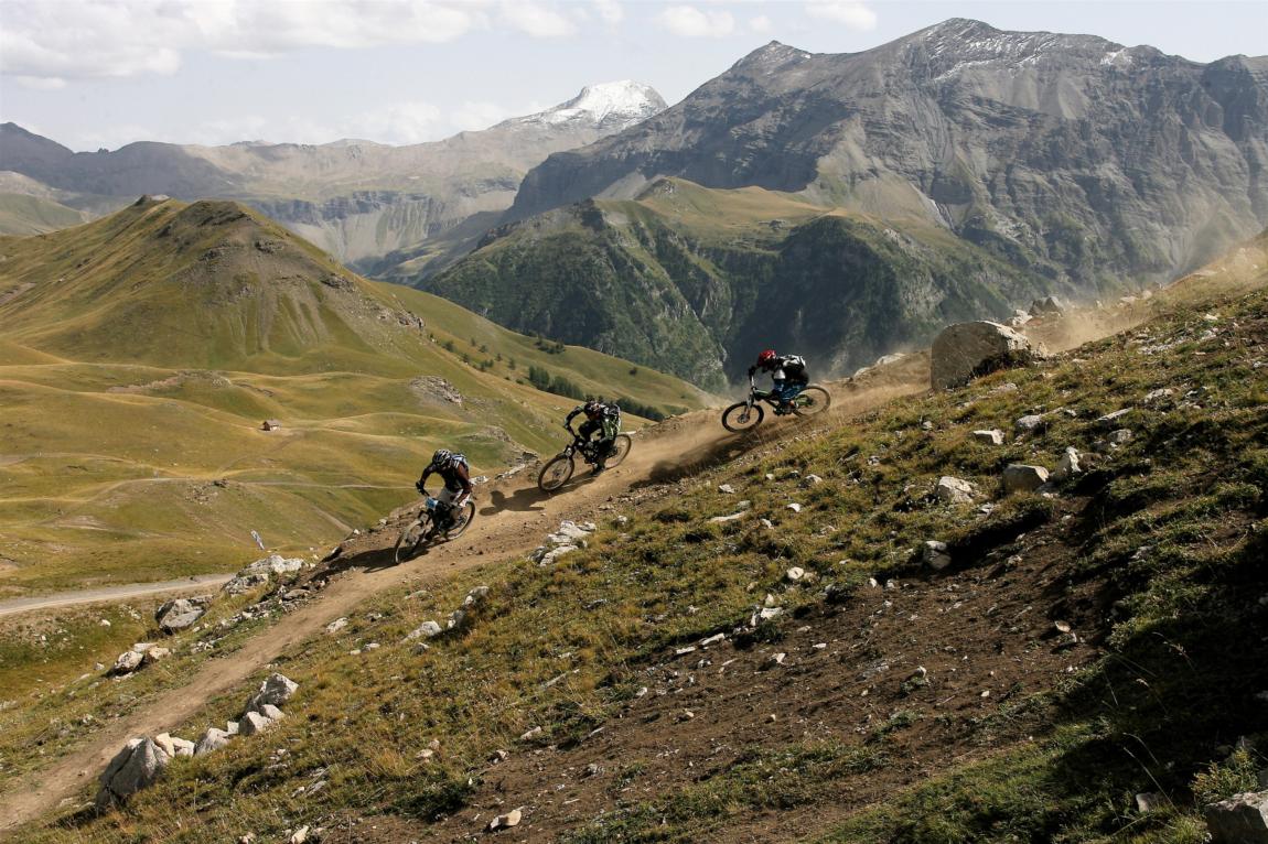
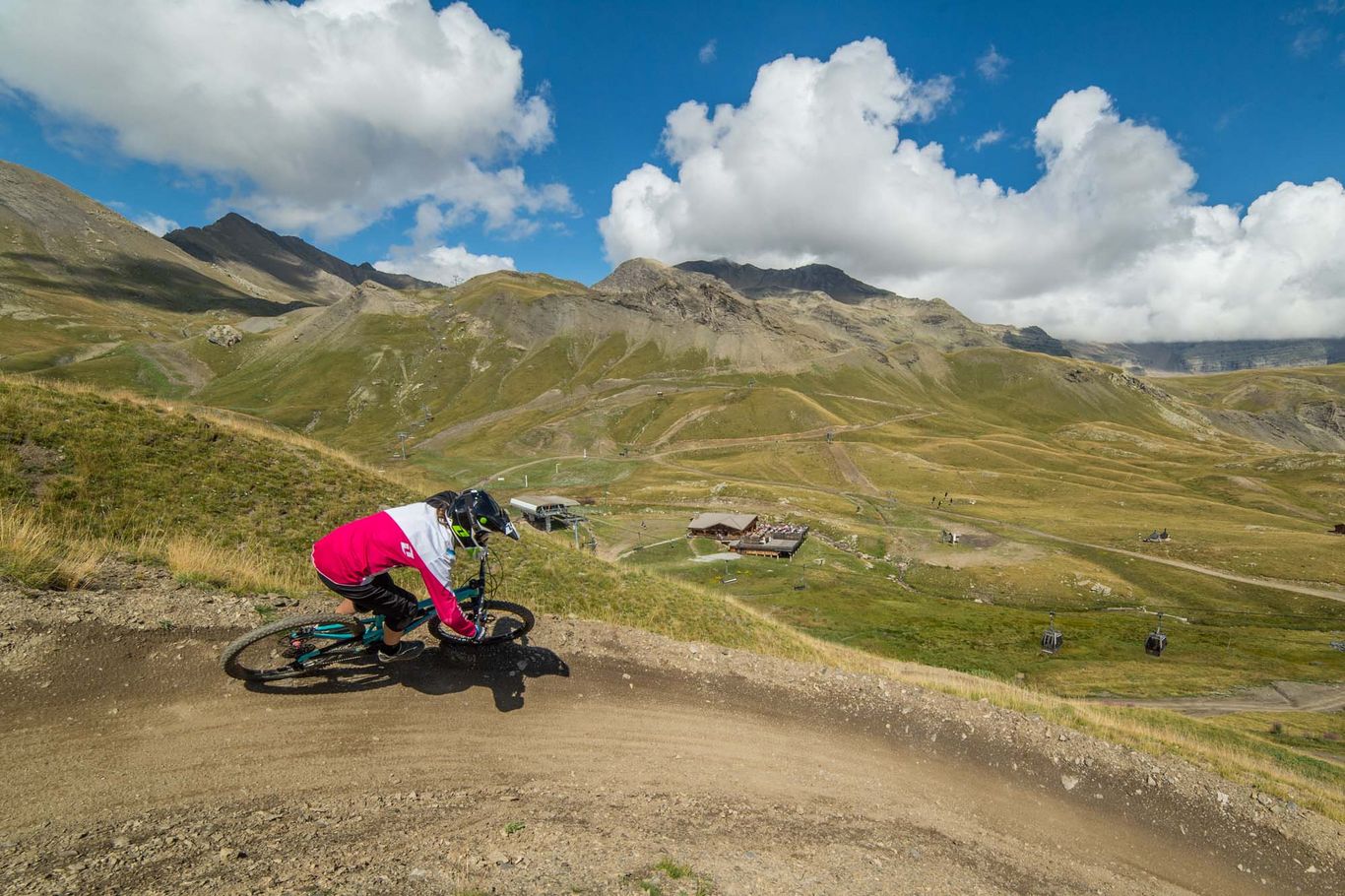
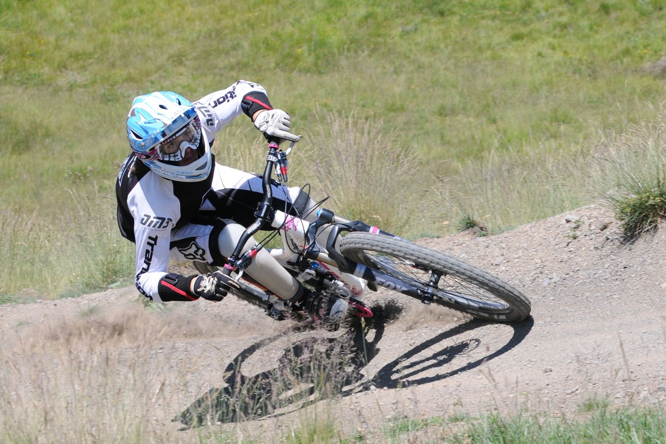
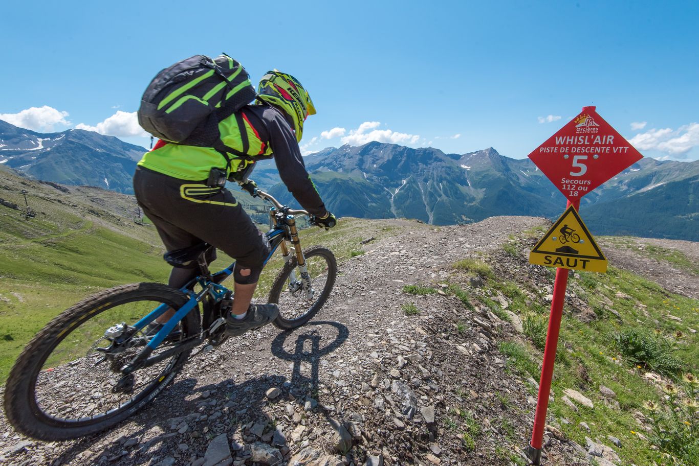
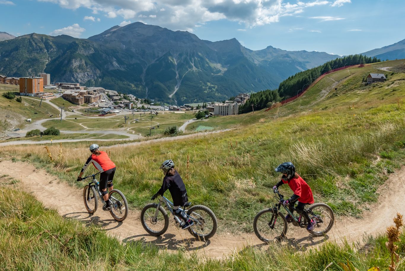
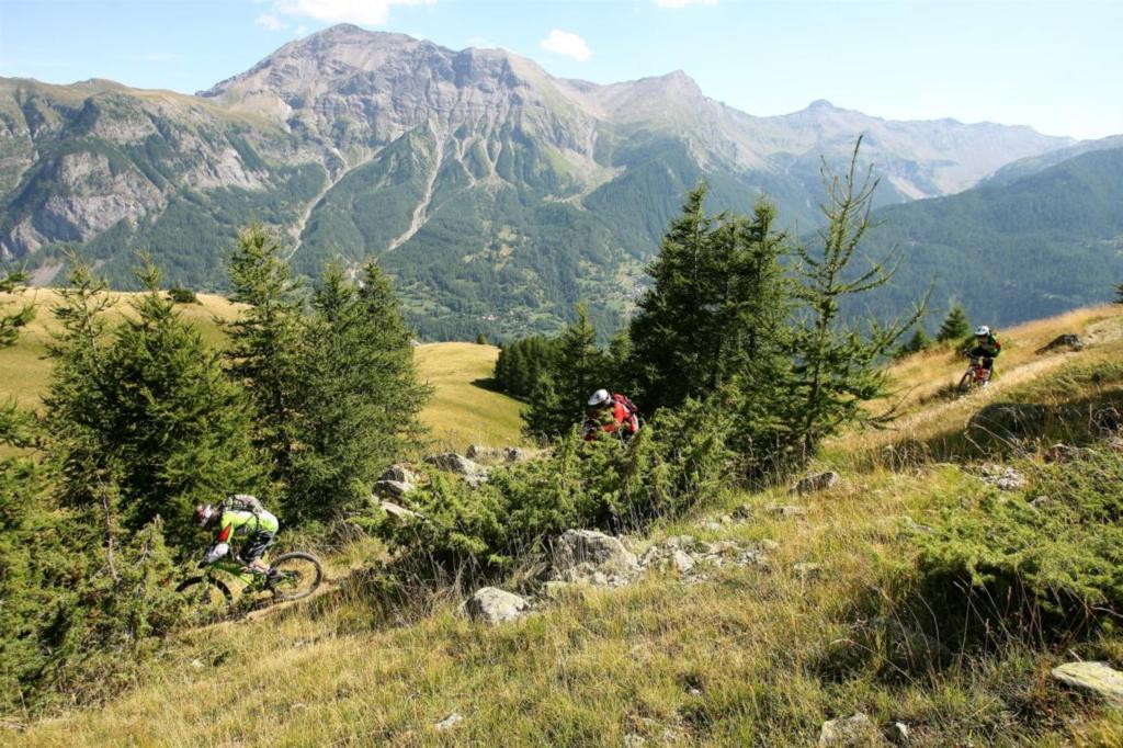
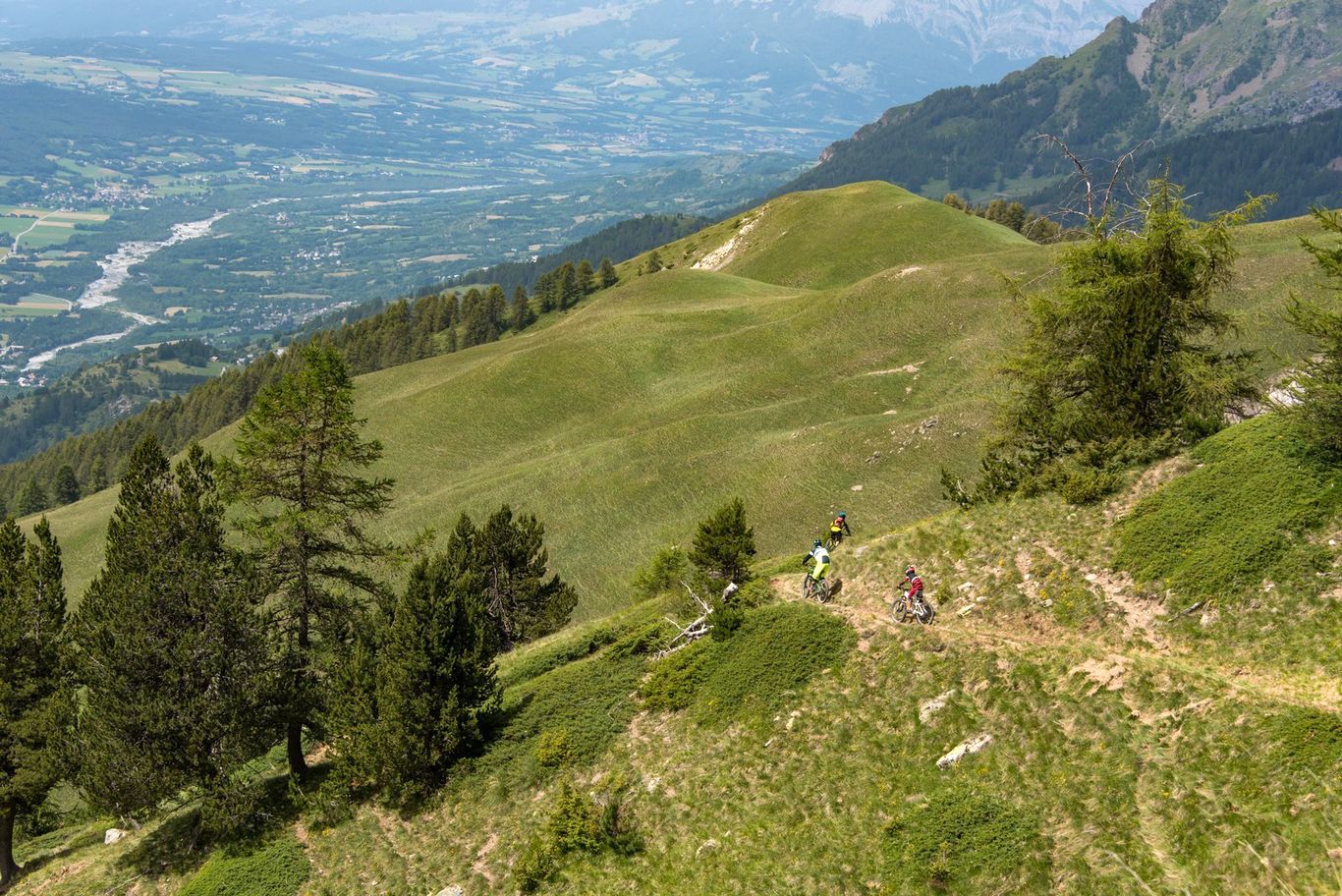
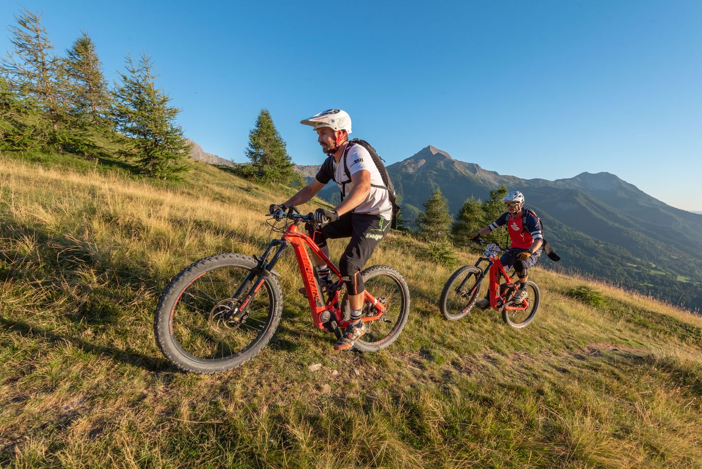
At the heart of the Hautes-Alpes, Orcières is a leisure area par excellence, it is also a paradise for mountain bikers. 3 télémix serve 11 DH (DownHill) tracks all levels, specially designed (banked turns, jumps, bumps ...) and plotted for mountain biking downhill. There is also a north-shore area with sequences of modules wood : bridges, swings, wall rides, jump tables. The MTB area of Orcières is also a fabulous playground for practitioners of enduro bike. 5 enduro routes, technical journey down profile, promise fine wrinkles freely from the top of Drouvet (2650 m) to the Recreation Park of Orcières (1350 m) where a free shuttle service will allow you to go back the resort without effort.
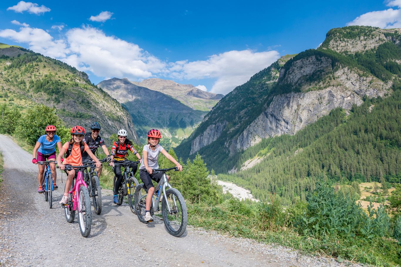
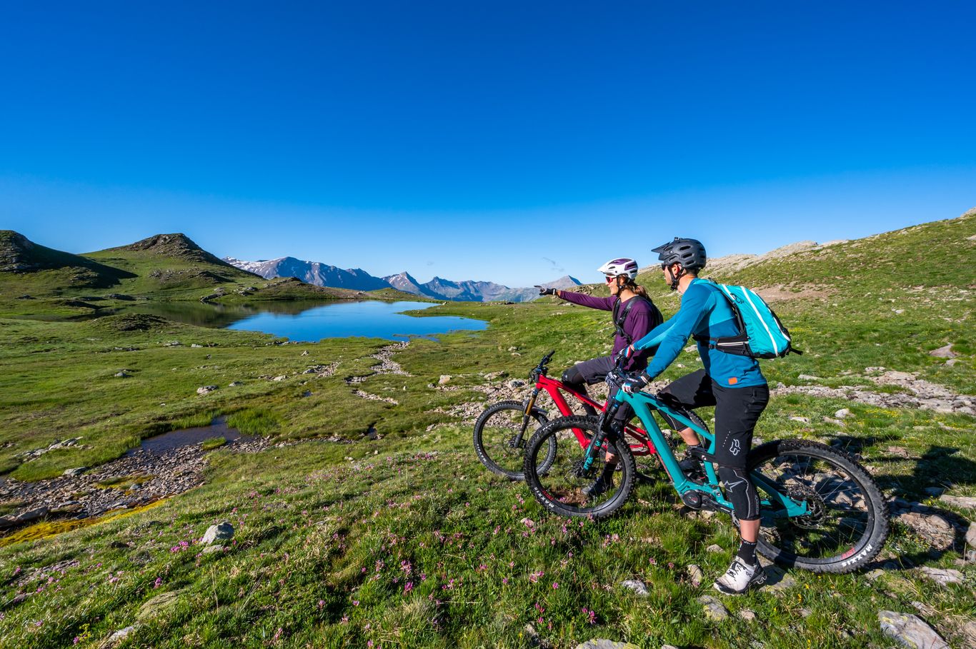
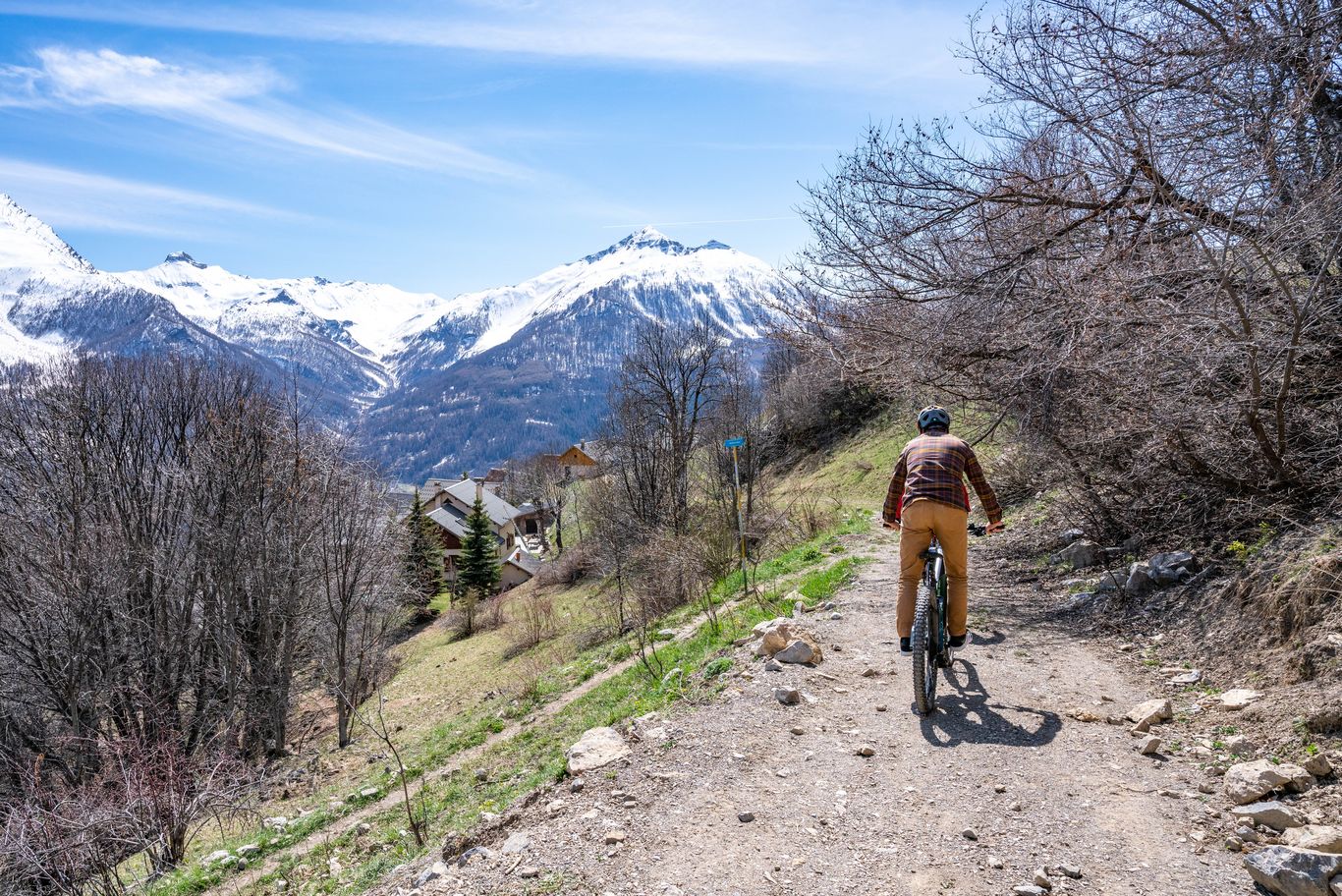
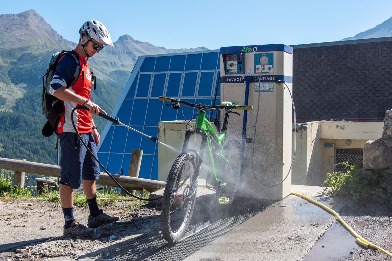
For the cross country or mountain biking enthusiasts, the Orcières mountain bike area is one of the gateways to the Champsaur and Valgaudemar VTT-FFC area with its 500 km of marked trails (see details below). You can also try out the electric-assisted mountain bike (eMTB) on the two marked-up courses that cross the slopes of Orcières. Finally, you will find Orcières all the necessary amenities for mountain biking : bike rental and shops, schools bike, a bike wash station...
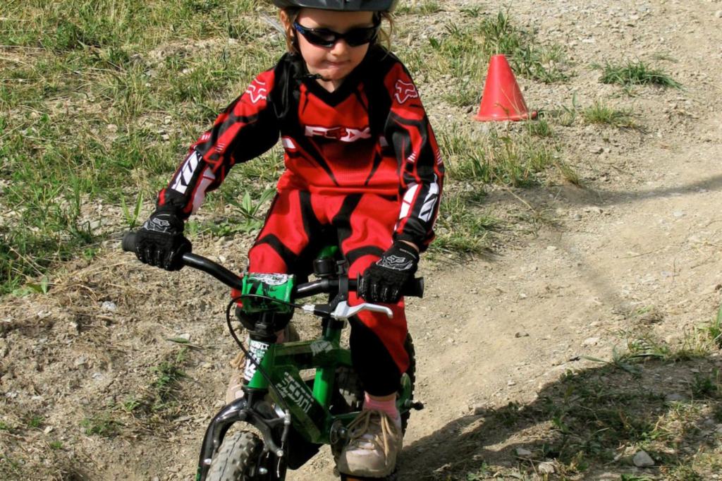
A play area located on the Drapeaux snowfront allows you to learn or improve your skills. There is also one pumptrack course in the center of the resort.
Since 2022, the resort of Orcières is proud to be a partner of the GIANT France MTB Pro Team and to be the base camp for the team's preparation courses !
The MTB area of Orcières is open from 05/07 to 31/08/2025.
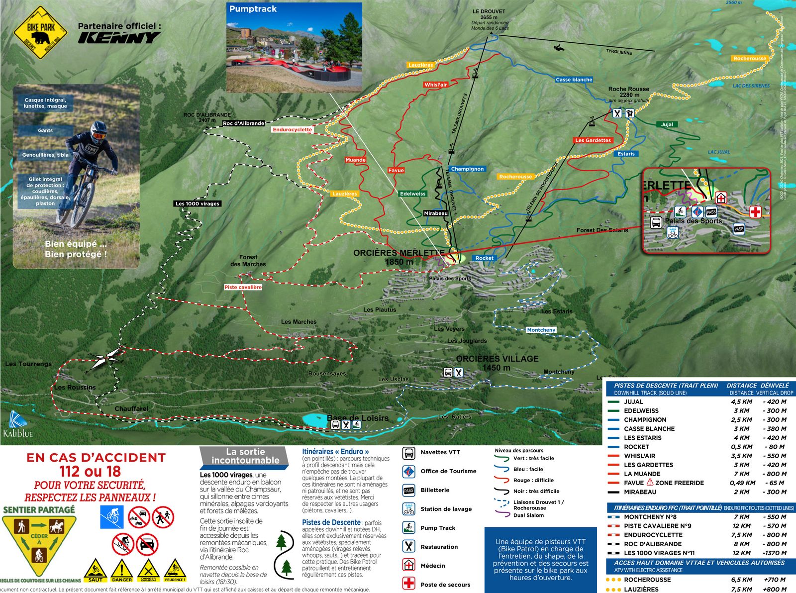
Bike park and MTB routes map
DH bike routes
Piste DH 'La Muande'
Departure : Sommet du Drouvet
Distance : 7 km
Elevation : -800 m
Type : Go / roaming
Piste DH 'Mirabeau'
Departure : Gare intermédiaire du Drouvet
Distance : 2.5 km
Elevation : m
Type : Go / roaming
Piste DH 'Champignon'
Departure : Gare intermédiaire du Drouvet
Distance : 2.5 km
Elevation : 300 m
Type : Go / roaming
Piste DH 'Jujal'
Departure : Plateau de Rocherousse
Distance : 4.5 km
Elevation : -420 m
Type : Go / roaming
Piste DH 'Les Estaris'
Departure : Plateau de Rocherousse
Distance : 4.5 km
Elevation : -420 m
Type : Go / roaming
Piste DH 'Les Gardettes'
Departure : Plateau de Rocherousse
Distance : 3 km
Elevation : -420 m
Type : Go / roaming
Piste DH 'Casse Blanche'
Departure : Sommet du Drouvet
Distance : 3 km
Elevation : -380 m
Type : Go / roaming
Piste DH 'Rocket'
Departure : Sommet du Drouvet
Distance : 0.5 km
Elevation : -80 m
Type : Go / roaming
Piste DH 'Whisl'air'
Departure : Accès par la piste DH 'Casse Blanche' sous le Drouvet
Distance : 3.5 km
Elevation : -550 m
Type : Go / roaming
MTB routes Enduro
Itinéraire enduro 'Piste cavalière'
Departure : Merlette
Distance : 12 km
Elevation : 550 m
Type : Go / roaming
Itinéraire enduro 'Les Mille Virages'
Departure : Sommet du Drouvet
Distance : 12 km
Elevation : 1370 m
Type : Go / roaming
Itinéraire enduro 'Montcheny'
Departure : Merlette
Distance : 7 km
Elevation : 550 m
Type : Go / roaming
Itinéraire enduro 'Le Roc d'Alibrandes'
Departure : Sommet du Drouvet
Distance : 8 km
Elevation : 800 m
Type : Go / roaming
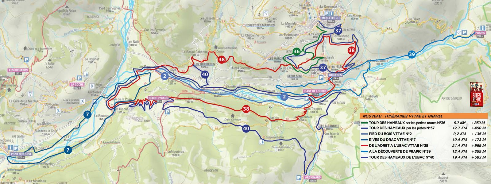
Map of eMTB and Gravel routes
eMTB routes
'Lauzières' Electric MTB track
Departure : Merlette
Distance : 7.5 km
Elevation : 800 m
Type : Go / roaming
'Rocherousse' Electric MTB Track
Departure : Merlette
Distance : 4 km
Elevation : 420 m
Type : Go / roaming
Parcours VAE 'Tour des hameaux d'Orcières 2'
Departure : Office de tourisme d'Orcières
Distance : 12.7 km
Elevation : 450 m
Type : Loop
Parcours VTTAE 'Les hameaux de l'Ubac'
Departure : Base de Loisirs d'Orcières
Distance : 19.4 km
Elevation : 583 m
Type : Loop


